

Current research projects
The Coasts and Estuaries Research Group investigate the beaches, estuaries, rivers, and reefs that make up our coasts and examine how processes such as waves, tides, and currents change the shape of our coast over time. They also work on improving predictions of extreme events such as tsunami. Select research projects currently underway are detailed below.
A full list of publications authored by the team is available here and recent conferences attendances by the group are detailed here. Opportunities for future research students are available here and media and science communication outputs from the group are listed here.
Variation in coastal water levels: open coast and the impacts for water levels in estuaries

Hannah Power and Karen Palmer installing a tide gauge and current meter in Georges Bay, Tasmania.
Photo: Haleh Nampak.

Localised flooding in NSW due to high ocean water levels.
Photo: David Hanslow.
This project is investigating how long-term climate modes, like El Niño/La Niña and the Southern Annular Mode, influence coastal ocean water levels along the east coast of Australia. It is also investigating how these processes and sea level rise are impacting tides and water levels in estuaries. This project has examined how tides and water levels have changed over the past few decades in estuaries in NSW and assessed frequencies of tidal inundation. Results from this project will help coastal managers identify climate conditions that may cause coastal water levels to be abnormally high and result in flooding of low-lying areas and predict inundation frequencies into the future.
Surf and swash zone hydrodynamics and wave runup

I'm a paragraph. Click here to add your own text and edit me. It's easy.
Photo: Hannah Power.

A drone view of the swash zone on a beach..
Photo: Hannah Power.
This project investigates the hydrodynamics of surf zones on natural sandy beaches including processes such as how waves change after they break and how they interact. It is also investigating the hydrodynamics of waves in the swash zone and working to improve models that predict wave runup. Key aspects of this work include models to describe breaking wave height decay in the surf zone, characterisation of the distribution of waves in the surf zone, and quantification of the proportion of waves in the surf zone are broken. Other aspects include include an assessment of the accuracy of existing wave runup models and an improved wave runup prediction model, characterisations of swash probability distributions, and identification of the processes that drive extreme wave runups.
Resilience of coastal sand barriers: tipping points for overtopping and break-through
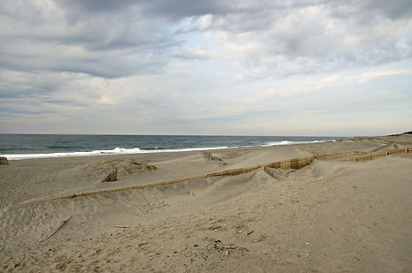
A coastal dune.
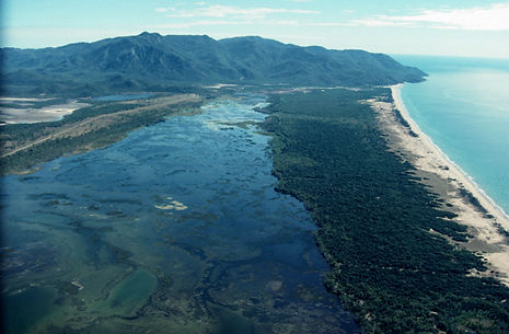
A coastal sand barrier.
Investigate the conditions for overtopping, washover, rollover and break-through of estuarine and open-coast sand barriers, and their sensitivity/resilience to these processes for current and future ocean conditions (storm waves & water levels) and sea-level rise. The Deeban estuarine barrier-spit in Port Hacking experienced overwash, rollover and break-through in 2020 and will be a focus study site for data analysis and field work. Historical and recent morphological data will be analysed along with nearshore hydrodynamic datasets and ocean wave and tide data to understand what brought on the tipping-point change. Open-coast barriers to investigate could include Bribie Island (break-through event in 2022), and Manning Point, which may experience a very similar break-through to Bribie Island in coming years. The research will inform coastal planning/management by identifying the conditions and potential for tipping-point changes.